Animals
Cities
Disasters
Entertainment
Food
Government
Health
Industry
Insects
Military
Nature
People
Sports
Technology
Universe
Vehicles
Explore over 500,000 Images in my personal collection
real images | real history | no AI
|
|
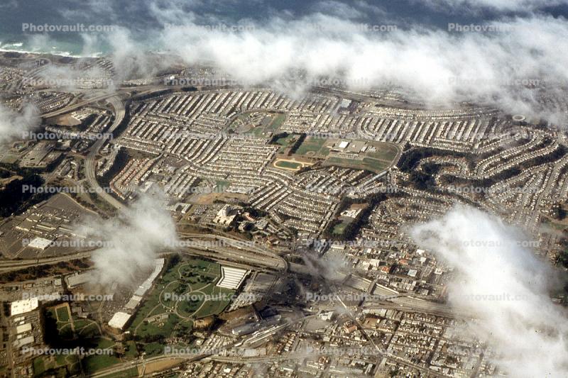
- Code Number:
- CSBV08P13_11
- Title:
- Daly City Aerial, Interstate I-280, PCH, 29 October 2003
- Pacific Coawt Highway
- Keywords:
- Image by:
- Wernher Krutein
- Caption Disclaimer
Royalty Free: Calculate Price