Explore over 500,000 Images in my personal collection
real images | real history | no AI

|
|
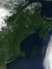
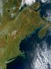
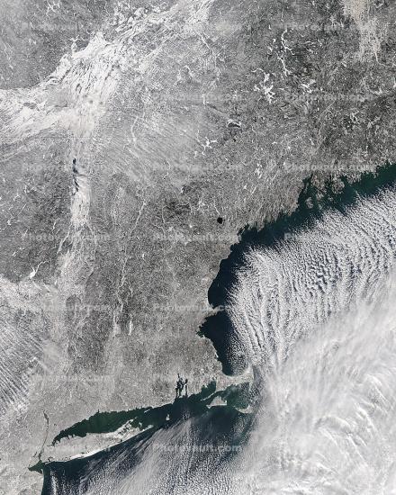
- Code Number:
- UPDD01_049
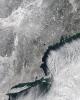
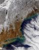
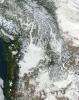
- Title:
- Long Island, New England, Canada, Ice Storm, cloud streets
- Keywords:
- Image by:
- NASA
- Caption Disclaimer
Royalty Free: Calculate Price