Animals
Cities
Disasters
Entertainment
Food
Government
Health
Industry
Insects
Military
Nature
People
Sports
Technology
Universe
Vehicles
Explore over 500,000 Images in my personal collection
real images | real history | no AI
|
|
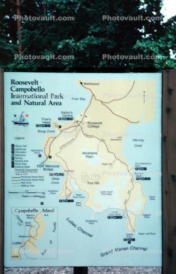
- Code Number:
- CCEV01P02_01
- Title:
- Campbobello Island map
- Keywords:
- Caption Disclaimer
Royalty Free: Calculate Price