Animals
Cities
Disasters
Entertainment
Food
Government
Health
Industry
Insects
Military
Nature
People
Sports
Technology
Universe
Vehicles
Explore over 500,000 Images in my personal collection
|
|
- Code Number:
- CSND01_017
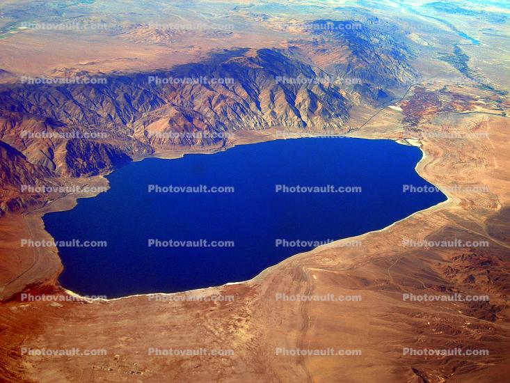
- Title:
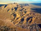
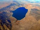
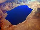
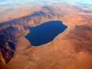
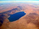
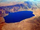
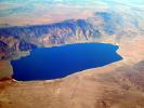
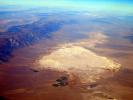
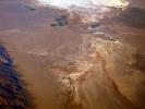
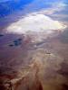
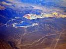
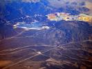
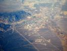
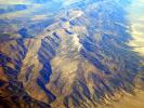
- Walker Lake, Endoheric, Hawthorne, Mineral County, Wassuk Range
- Primary inflow: Walker River
Primary outflow: evaporation
Catchment area: Walker River Basin
Max. length: 29 km (18 mi)
Max. width: 11 km (7 mi)
Surface area: 130 km
Max. depth: 150 meters (500 feet) - Keywords:
- Image by:
- Wernher Krutein
- Caption Disclaimer
Buy Print: