Explore over 500,000 Images in my personal collection
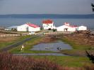
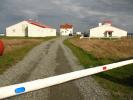
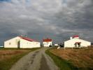
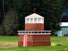
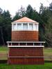
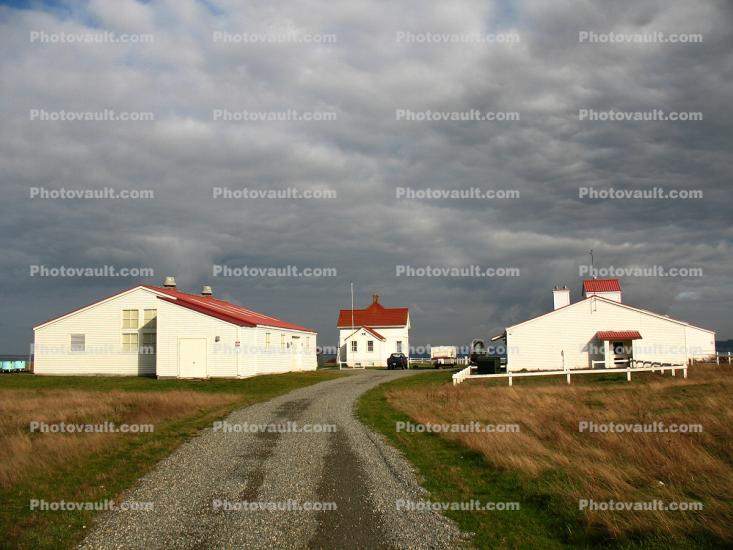
USGS Western Fisheries Research Center, Marrowstone Marine Station
Code Number:
CNTD01_146
Title:
USGS Western Fisheries Research Center, Marrowstone Marine Station
Keywords:
Washington State, Architecture, Travel, Scenics, Structure, USA, History, Archives
Image by:
Wernher Krutein

Buy Print:

Hood Canal Bridge, William A. Bugge Bridge, floating pontoon bridge, State Route 104, WashingtonHood Canal Bridge, WashingtonHouse along the Seashore, Marrowstone Point, WashingtonUSGS Western Fisheries Research Center, Marrowstone Marine StationUSGS Western Fisheries Research Center, Marrowstone Marine StationUSGS Western Fisheries Research Center, Marrowstone Marine StationUSGS Western Fisheries Research Center, Marrowstone Marine StationUSGS Western Fisheries Research Center, Marrowstone Marine StationLighthouse shaped building, south of Port Hadlock, WashingtonLighthouse shaped building, south of Port Hadlock, WashingtonLighthouse shaped building, south of Port Hadlock, WashingtonFort Flagler State Park, Mystery Bay, Recreation AreaNordlandHood Canal Bridge, William A. Bugge Bridge, floating pontoon bridge, State Route 104, WashingtonHood Canal Bridge, William A. Bugge Bridge, floating pontoon bridge, State Route 104, WashingtonHood Canal Bridge, William A. Bugge Bridge, floating pontoon bridge, State Route 104, Washington
Previous Page Next Page
Go to lightbox