Animals
Cities
Disasters
Entertainment
Food
Government
Health
Industry
Insects
Military
Nature
People
Sports
Technology
Universe
Vehicles
Explore over 500,000 Images in my personal collection
|
|
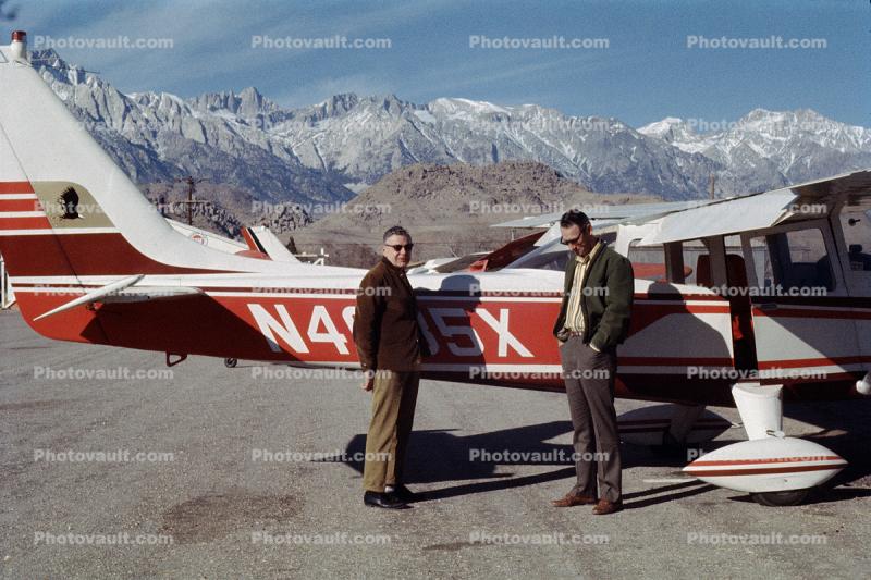
- Code Number:
- TAGV01P07_12
- Title:
- Lone Pine Airport, Inyo County, Owens Valley, California
- Cessna Aircraft
- Keywords:
- Image by:
- Wernher Krutein
- Caption Disclaimer
Buy Print: