Animals
Cities
Disasters
Entertainment
Food
Government
Health
Industry
Insects
Military
Nature
People
Sports
Technology
Universe
Vehicles
Explore over 500,000 Images in my personal collection
|
|
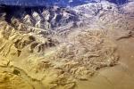
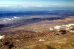
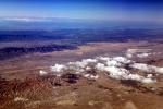
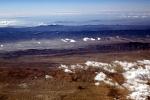
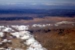
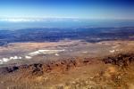
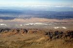
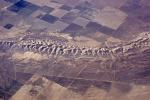
- Code Number:
- NPSV07P01_16
- Title:
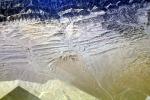
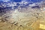
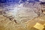
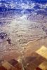
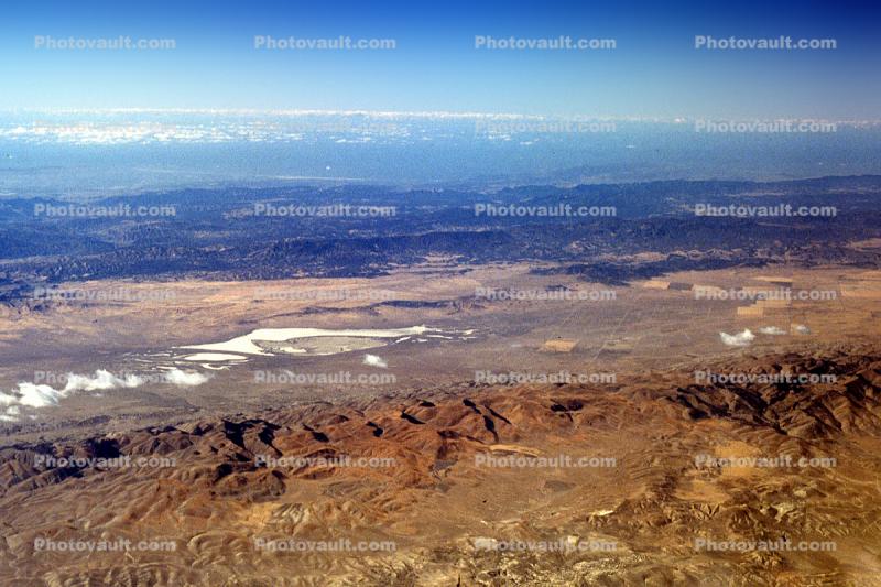
- Desert, Soda Lake, Temblor Range, San Luis Obispo County, water
- This large basin is all that remains of a prehistoric sea. This is one of the largest undisturbed alkali wetlands in California. This 3,000 acre lake provides important habitat for migratory birds, including a quarter of the state's wintering sandhill crane population. With no outlet, the water evaporates, leaving behind a glistening expanse of pure white sodium sulfate and carbonate.
- Keywords:
- Image by:
- Wernher Krutein
- Caption Disclaimer