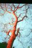
Animals
Cities
Disasters
Entertainment
Food
Government
Health
Industry
Insects
Military
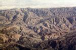
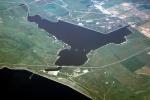
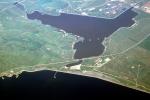
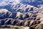
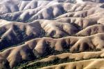
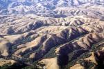
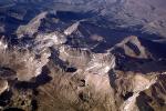
Nature
People
Sports
Technology
Universe
Vehicles
Explore over 500,000 Images in my personal collection