Explore over 500,000 Images in my personal collection
real images | real history | no AI
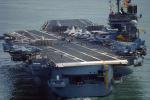
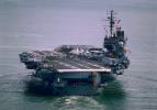
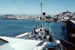
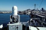
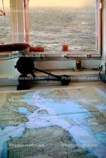
Navigation map, Nautical Chart, Ocean, ship, window, Photo
|
- < PREV | NEXT >
-
- Code Number:
- MYNV09P06_12.1705
- Title:
-
Navigation map, Nautical Chart, Ocean, ship, window
- Keywords:
-
Navy, Military, Armament, Weaponry, warfare, Naval, Weapon, Maritime, Killingry, History, Archives, Historic, Armed Force
- Image by:
- Bill Goidell
|
- Code Number:
- MYNV09P06_12.1705
- Title:
-
Navigation map, Nautical Chart, Ocean, ship, window
- Keywords:
-
Navy, Military, Armament, Weaponry, warfare, Naval, Weapon, Maritime, Killingry, History, Archives, Historic, Armed Force
- Image by:
- Bill Goidell
- Caption Disclaimer