Animals
Cities
Disasters
Entertainment
Food
Government
Health
Industry
Insects
Military
Nature
People
Sports
Technology
Universe
Vehicles
Explore over 500,000 Images in my personal collection

|
|
- Code Number:
- TAAV02P06_12B
- Title:
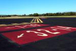
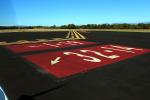
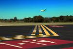
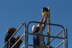
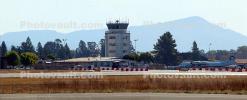
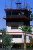
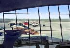
- Control Tower, Palm Trees, Kern County Air Teminal, Meadows Field, Bakersfield
- Location: Bakersfield, California
Elevation AMSL: 507 feet / 154.5 meters
Website: meadowsfield.com - Keywords:
- Image by:
- Wernher Krutein
- Caption Disclaimer