Explore over 500,000 Images in my personal collection
real images | real history | no AI
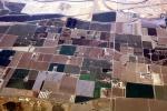
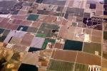
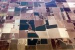
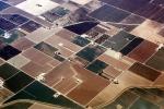
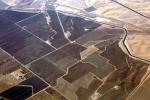
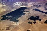
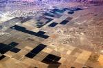
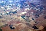
Central Valley, near Gustine, California, Farming, Photo
|
- < PREV | NEXT >
-
- Code Number:
- FMNV08P04_13
- Title:
-
Central Valley, near Gustine, Interstate Highway I-5, California, patchwork, checkerboard patterns, farmfields
- Keywords:
-
Farming, Agriculture in North America, Agricultural, Farm Lands, Farmlands, Flora, Fields, Agronomics, food, farmfields, food production, Farmland, Agronomy, Cash Crop, Archives, History
- Image by:
- Wernher Krutein
|
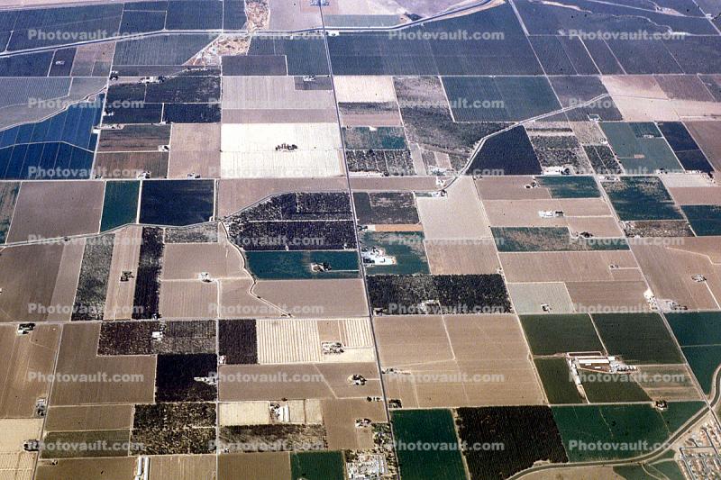
- Code Number:
- FMNV08P04_13
- Title:
-
Central Valley, near Gustine, Interstate Highway I-5, California, patchwork, checkerboard patterns, farmfields
- Keywords:
-
Farming, Agriculture in North America, Agricultural, Farm Lands, Farmlands, Flora, Fields, Agronomics, food, farmfields, food production, Farmland, Agronomy, Cash Crop, Archives, History
- Image by:
- Wernher Krutein
- Caption Disclaimer