Explore over 500,000 Images in my personal collection
real images | real history | no AI
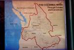
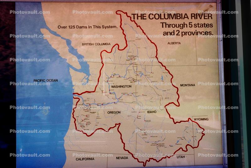
Columbia River Drainage map, United States Map, USA, Photo
|
- < PREV | NEXT >
-
- Code Number:
- TPHV01P05_18
- Title:
-
Columbia River Drainage map, United States Map
- Keywords:
-
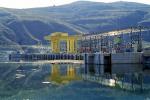
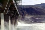
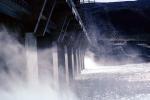
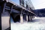
Charts and Maps, USA, US, United states, Columbia River Valley, Northwest, USA, Hydroelectric Power, Potable Water, Structure, Generating, Generation, Electricity, Technology, Energy Production, Electrical, Industrial, Industry, Alternative, Renewable Resource, Cleantech, Hydrology, waterpower, Hydropower, Irrigation, Hydraulics
- Image by:
- Wernher Krutein
|
- Code Number:
- TPHV01P05_18
- Title:
-
Columbia River Drainage map, United States Map
- Keywords:
-
Charts and Maps, USA, US, United states, Columbia River Valley, Northwest, USA, Hydroelectric Power, Potable Water, Structure, Generating, Generation, Electricity, Technology, Energy Production, Electrical, Industrial, Industry, Alternative, Renewable Resource, Cleantech, Hydrology, waterpower, Hydropower, Irrigation, Hydraulics
- Image by:
- Wernher Krutein
- Caption Disclaimer