Explore over 500,000 Images in my personal collection
|
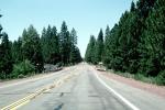
- Code Number:
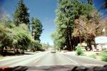
- VCRV17P04_03
- Title:
-
Klamath Falls, Highway 39, Road, Roadway, Highway
- Keywords:
-
Oregon, Scenics, USA, American, Structure, Electrical Power Distribution, Electricity, Technology, Wires, Transmission Poles, Power Grid, Powerpole, Utility Pole, Industry, Electrical, Automotive Transportation, Historical
- Image by:
- Wernher Krutein
|
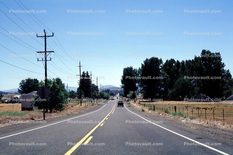
- Code Number:
- VCRV17P04_03
- Title:
-
Klamath Falls, Highway 39, Road, Roadway, Highway
- Keywords:
-
Oregon, Scenics, USA, American, Structure, Electrical Power Distribution, Electricity, Technology, Wires, Transmission Poles, Power Grid, Powerpole, Utility Pole, Industry, Electrical, Automotive Transportation, Historical
- Image by:
- Wernher Krutein
- Caption Disclaimer