Animals
Cities
Disasters
Entertainment
Food
Government
Health
Industry
Insects
Military
Nature
People
Sports
Technology
Universe
Vehicles
Explore over 500,000 Images in my personal collection

|
|
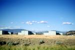
- Code Number:
- TAAV11P14_12
- Title:
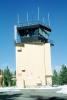
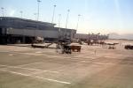
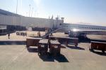
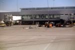
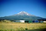
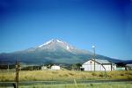
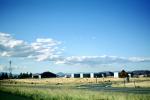
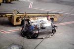
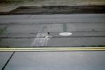
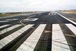
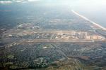
- Hangars, buildings, Weed Airport, Siskiyou County, Mount Shasta
- Airport was activated in November 1958.
Airport identifier: O46
Airport traffic frequency (CTAF or Unicom): 122.70
Airport reference code: B-1 (small)
Runway lights are available, PCL, Key 5 times on CTAF
Taxiway lights at entrances only.
Visual navigation at Weed is a rotating green and white beacon, from sunset to sunrise. PAPI's.
Critical aircraft: Light-Twin
The available runway: 14/32. Runway dimensions are 5,000ft 60ft, asphalt with pavement strength of 12,500lbs for aircraft with single-wheel main landing gear. - Keywords:
- Image by:
- Wernher Krutein
- Caption Disclaimer