Explore over 500,000 Images in my personal collection
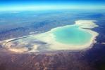
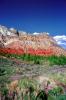
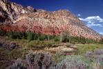
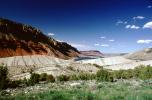
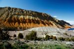
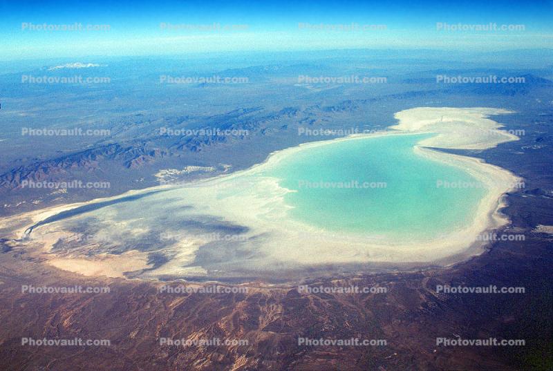
Sevier Lake, intermittent, endorheic basin, Salt, Millard County
Code Number:
NSUV01P07_12
Title:
Sevier Lake, intermittent, endorheic basin, Salt, Millard County
Primary inflows: Beaver and Sevier rivers
Surface elevation: 1,390 meters (4,550 feet)
Keywords:
Utah, Nature, Scenes, Scenery, Scenic, Travel, Natural, Southwest USA, Geoform, geological formation, geology, Desert, geologic forces
Image by:
Wernher Krutein
Sevier Lake, intermittent, endorheic basin, Salt, Millard County
BUY IMAGE(S) NOW
Code Number:
NSUV01P07_12
Title:
Sevier Lake, intermittent, endorheic basin, Salt, Millard County
Primary inflows: Beaver and Sevier rivers
Surface elevation: 1,390 meters (4,550 feet)
Keywords:
Utah, Nature, Scenes, Scenery, Scenic, Travel, Natural, Southwest USA, Geoform, geological formation, geology, Desert, geologic forces
Image by:
Wernher Krutein
Caption Disclaimer

Buy Print:

Twisted Layered Shapes of Bryce Canyon National ParkArch, Roadway, HighwayScraggly Geoformations at Bryce Canyon in the WinterRock, Natural Bridge Arch in the Winter, landmarkHooDoo Twin Sisters, and a lone Mexican Man Sitting, Spire, SandstoneSevier Lake, intermittent, endorheic basin, Salt, Millard County Rock Mountain with PlantsFlaming Gorge National Recreation Area, Daggett CountyFlaming Gorge National Recreation Area, Daggett CountyMountain and shrubs, Flaming Gorge National Recreation Area, Daggett CountyFlaming Gorge National Recreation Area, Daggett CountyFlaming Gorge National Recreation Area, Daggett CountyFlaming Gorge National Recreation Area, Daggett County
Go to lightbox